



Overview
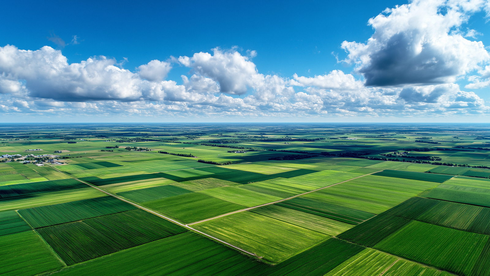
Rice is decided at the water line. Whether a field is flooded, drained or drying out changes with the stage of the crop, and the stage moves faster than a person can walk the bund. The pilot field is one hectare, with no mains power and no network cable to the parcel.
The design puts three things on one record. A soil multi-parameter probe sits in the root zone; a paddy water-level probe stands at a representative point in the standing water; a weather group covers the plot above the crop. All of them are RS485 devices, and all of them report to a single acquisition node rather than to their own display boxes. From that node the record goes up over 4G or Ethernet and is read against the stage calendar on the platform.
The point is not more data. A water-level number means nothing on its own: 40 mm is correct at nursery and far too little between planting and panicle initiation. Tying the reading to the stage is what turns it into a decision.
Challenges
A sample is not a trend
Soil moisture, EC, pH and the nutrient channels move with every rainfall, irrigation and fertiliser pass. Periodic manual sampling returns a value for one moment at one spot; the direction of change between visits is lost.
The target is not one number
The reference schedule runs from 40 mm at nursery through 200 mm at main-field preparation and 458 mm between planting and panicle initiation, then down to 125 mm from flowering to maturity. One fixed depth either wastes water early or stresses the crop late.
Three records that never met
Soil, water and weather are usually read on different instruments with different displays, then written into different notebooks. Duplicate host units, separate platforms and incompatible interfaces make a field harder to manage, not easier.
Solution
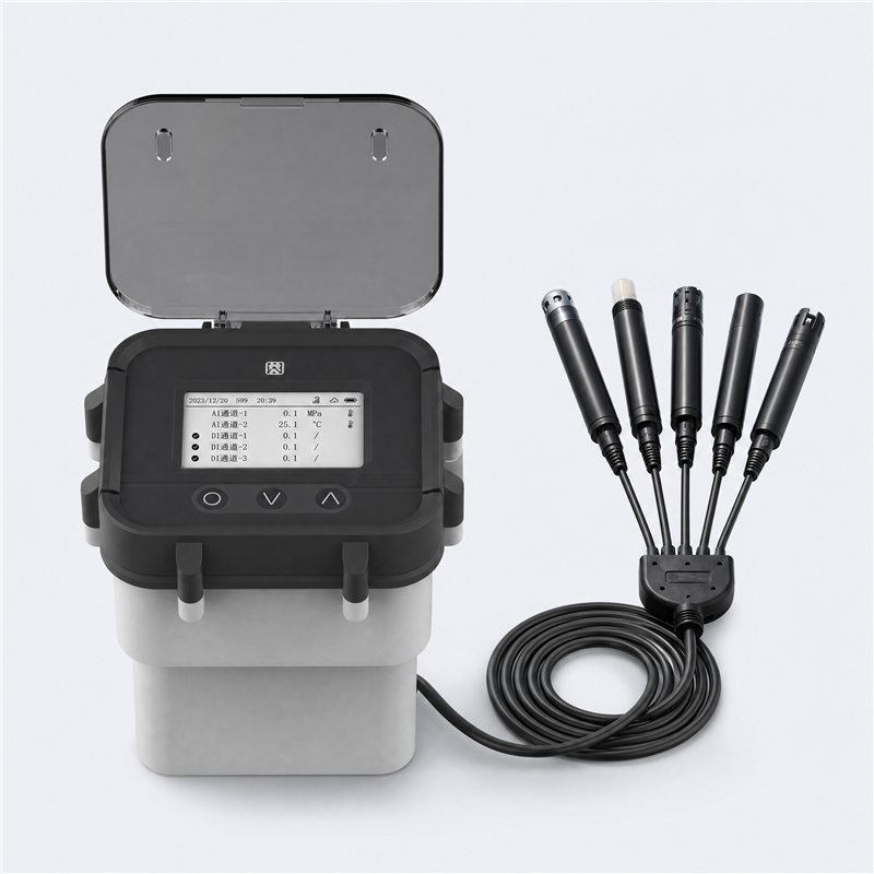
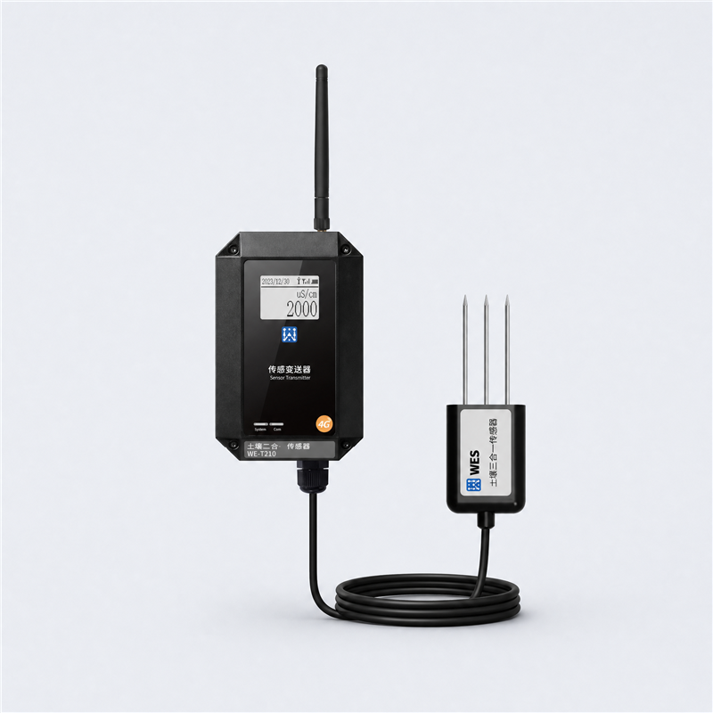
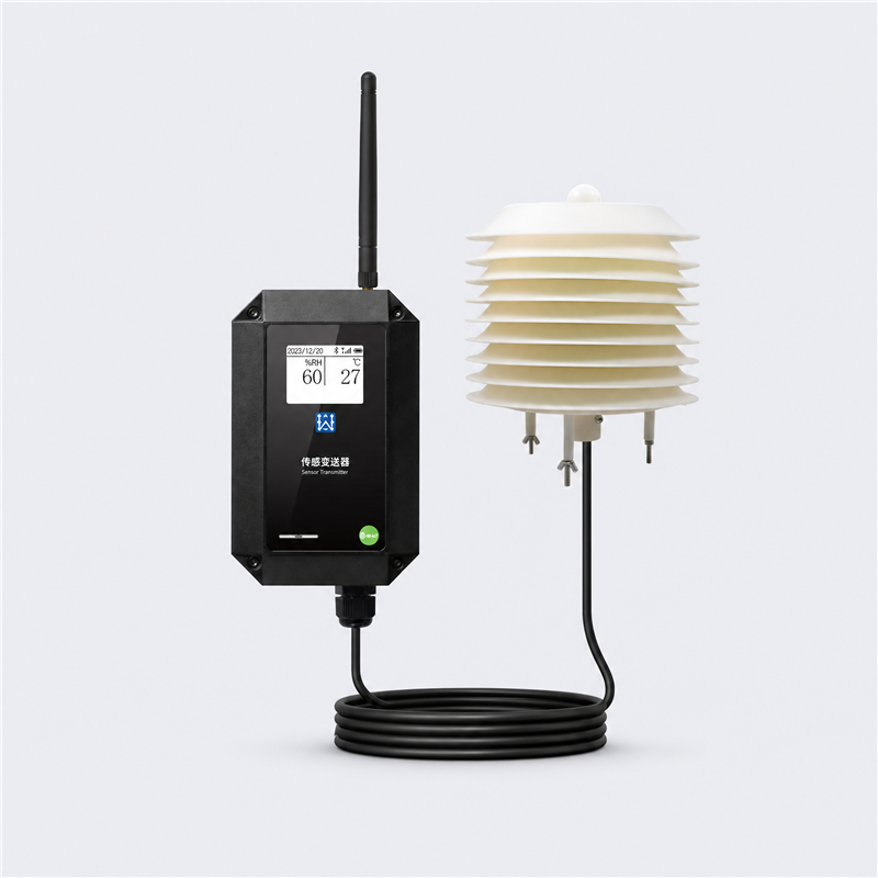
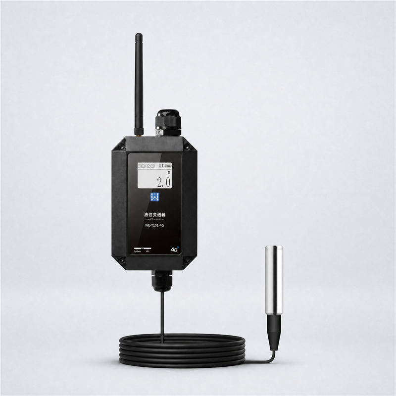
Every sensor in the design is an RS485 device: the root-zone probe, the paddy water-level probe, the air temperature and humidity transmitter, the wind pair, the radiation sensor, the rain gauge and the pressure sensor. They are polled by a single WE-T800 multifunction detection unit, which parses each protocol, timestamps the readings, keeps a local buffer when the link drops and forwards the stream over 4G or Ethernet. The soil probe and the water-level probe each reach the node over a 20 m cable, so the electronics can sit off the bund and out of the standing water. The field has no mains supply, so the node and the link run from a solar panel and battery.
On the platform, current water level is shown against the target band for the current stage, with the soil and weather series on the same timeline. Nine stages are tracked — nursery, transplanting and establishment, tillering, pre-jointing, panicle initiation and booting, heading, flowering, grain filling, maturity and harvest — each carrying its own target and its own note. Alerts cover low and high water level, rapid loss or rise, sensor offline, out-of-range or stuck values, and a stage-transition reminder.
The base scope is monitoring and decision support. Pumps, valves and gates are not switched automatically, because the field has no confirmed actuator, power or safety logic yet. A multispectral or vegetation-index camera can be added to the same platform as a separate image path; it is specified here as an option rather than a delivered result.
Field sensing
Edge acquisition
Platform
Reference hardware for the pilot — the sensing elements specified around the node:
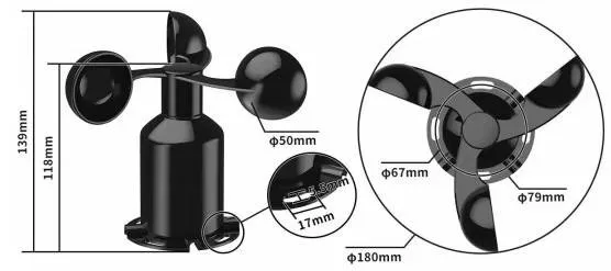
Cup rotor, RS485
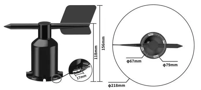
Vane, RS485
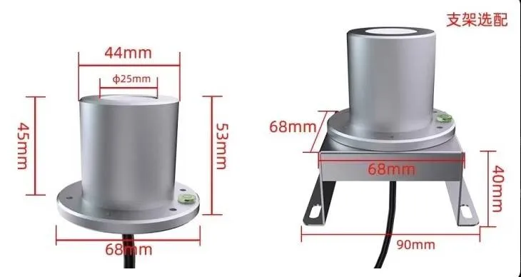
Dome and leveling base
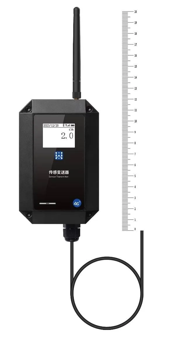
Probe and staff gauge
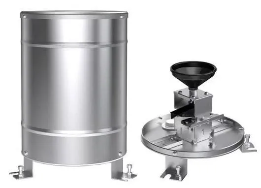
Tipping bucket, RS485